Property Features
- 18.82+/- acres in secluded area of Southern New Hampshire
- Surveyed parcel of undeveloped land with timber: Pine, Oak, Maple, and Ash
- Frontage on Curtis Road
- Access road via NH Route 10, Manning Hill Road
- Electric utilities located on Curtis Road at last current residence
- Estimated Property Taxes for 2021: $68.00 (in current use)
- Asking Price: SOLD
- NEREN MLS Listing #:4892402
Winchester, NH 18.82 ac. Land

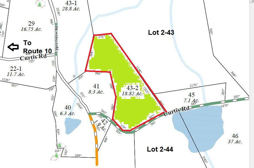
Map 2 Lot 43-2
Directions and Maps

Wooded Lot w/potential views of Curtis Pond. Incredible valley views driving along Curtis Rd to access property near (110 Curtis Rd) Private secluded area with minimal number of neighbors who own a lot of the surrounding acreage. This property has been surveyed and is in "current use". This property has not had owner authorized logging for at least 34 yrs and has not been offered for sale as a stand alone 18+/- parcel in 34 years. Over 700' of frontage on Curtis Rd. Curtis Rd near the stone wall that abuts 110 Curtis Rd drops steeply then levels out and is overgrown with saplings. This section of the Town Class 6 Rd is not maintained by the town or by current abutting land owners. One building lot is permitted per parcel on a class 6 rd. The property cannot be subdivided without major road improvements. If you are looking for a parcel to build a recreational retreat that is secluded, and within walking distance to hundreds of wooded acres currently in current use and has potential pond views this property could be yours in 2022. Broker Interest
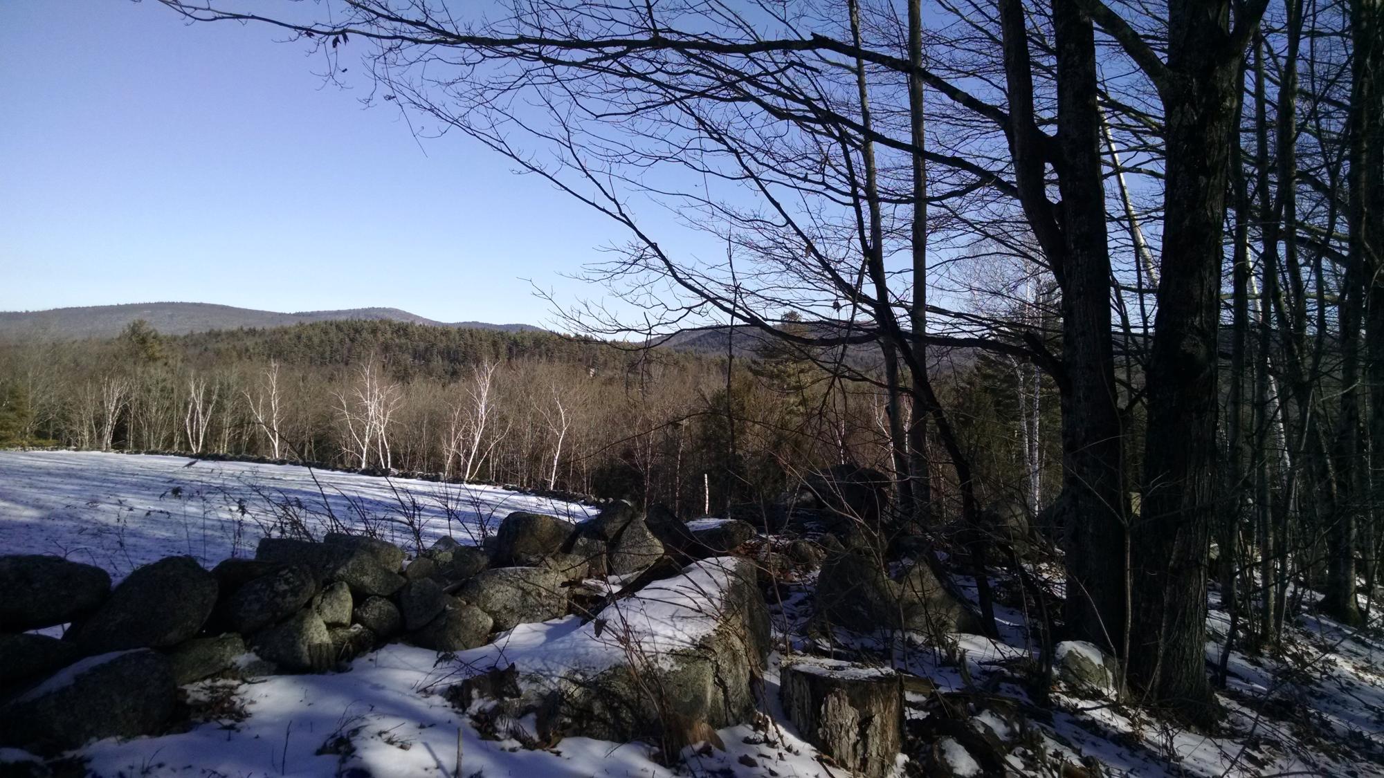
This photo is the view from the end of Curtis Road, approaching from the West (Route 10), where Curtis Road becomes part of Curtis Pond. The subject property is behind the camera over the right shoulder of the viewer.
Acreage: 18.82ac.
Frontage: 985ft on Curtis Road (west)
Access 1: Rte 10 via Curtis Road to Curtis Corner
Potential Access: Snow Road, via Parcel 2
Special Features: Occupies part of the hillside above Snow Pond and Snow Brook and Curtis Pond, as well as some of the flatter ground closer to Curtis Pond.
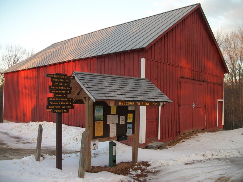
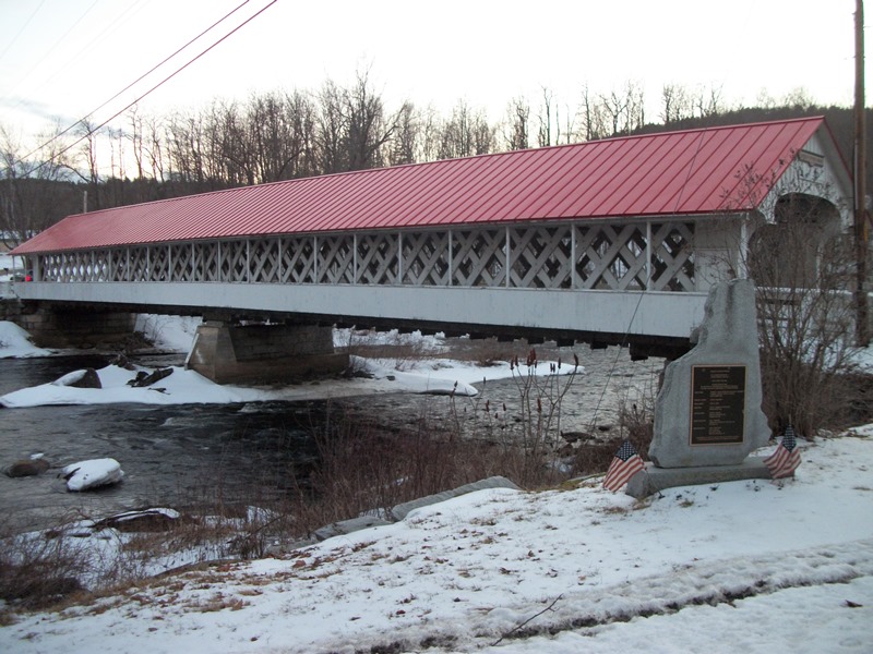
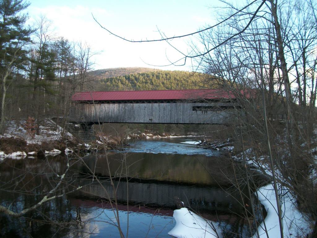
Clockwise from top left: Winchester Center Church, Ashuelot River Covered Bridge, Town Hall, Pisgah State Park, Town Hall and Conant Library, Coombs Covered Bridge
Important Documents


The beginning of Curtis Road, off of NH Route 10, Manning Hill Road.
The Class VI portion of Curtis Road, past the last residential house on the left, with seasonal cabin on right. Note the Log pile on the right in the foreground, and the stonewall on the left side.
This map directs to "Curtis Corner" off of NH Route 10 Manning Hill Road. The Class VI portion of Curtis Road continues to the right, past the last residences at 110 Curtis Road, and curves down along a stone wall and descends East towards Curtis Pond. Use the road map view for directions. Zoom in to view terrain, or use satellite to view property layout.
From the same position, looking over the Stonewall from Curtis Road Class VI Road, across neighbor's field to the tree line where the property starts
Further down the Class VI road, descending towards the beginning of the property, looking over the Stonewall from Curtis Road Class VI Road, across neighbor's field to the tree line where the property starts. Property starts at a pile of stones, at the intersection of 3 stonwalls, at the end of this clearing.
