Winchester, NH - LAND
This map directs to the access off Old Snow Road that crosses the Snow Brook at a dredged brook crossing. This may be the easiest and most neighbor friendly access to the 3500' frontage that is along Old Snow Road and Upper Snow Road. Use the road map view for directions. Zoom in to view terrain, or use satellite to view property layout.
Directions and Maps

Surrounding Area

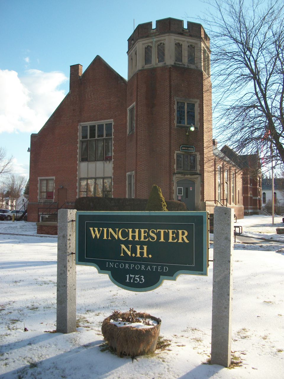
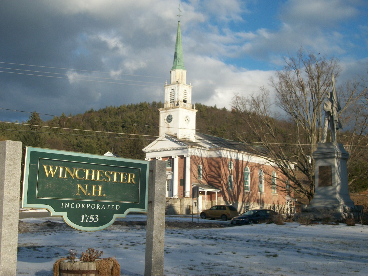
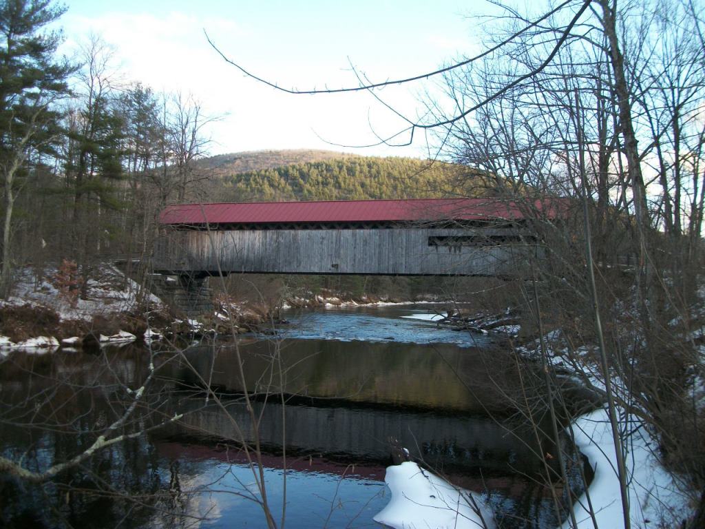
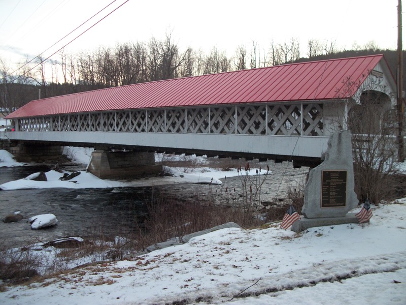
Clockwise from top left: Winchester Center Church, Ashuelot River Covered Bridge, Town Hall, Pisgah State Park, Town Hall and Conant Library, Coombs Covered Bridge
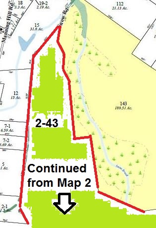


Map 2 Lot 43
Picture above shows Tax Parcel 2-43 as the Lot 1 portion of the 1992 Subdivision Plan: Cheshire Cty Cabinet 10 #73
This is a very large 160+ acre parcel of land located along the Snow Road and Upper Snow Road, class VI town road. It is situated on a slope on the East side of the road and has views and elevation above the Snow Brook Convservation Area abutting it to the East. It is in a very secluded area of the Town of Winchester, with very few neighbors. It has been surveyed since 1988 and appears as Lot 1 on the Tara Land Associates Subdivision Plat and Plan prepared by David A. Mann Associates in May 31, 1988, and recorded in the Cheshire County Registry of Deeds in Cabinet 10 Plan 73. It is a single parcel and separate Tax Lot of the former Tara Land Associates property, as Map 2 Lot 43.
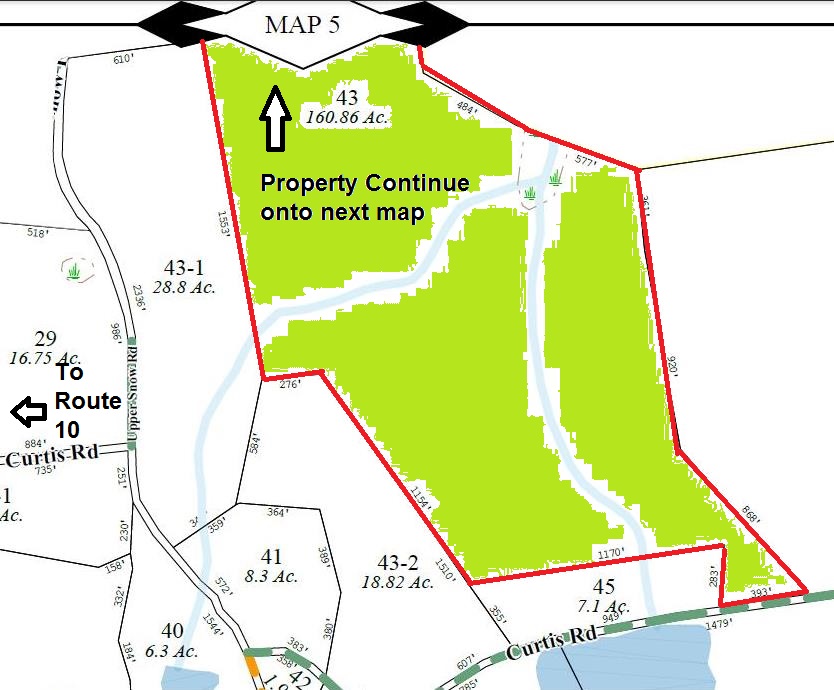
The images to the Left show the Tax Parcel Layouts according to the Town of Winchester Tax Maps. Lot 2-43 is one contiguous lot, however, the lower section appears on Tax Map 2, with the upper section appears as an unlabeled parcel on Tax Map 5.
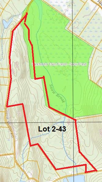
The image on the right shows the topography lines and layout according to an online GIS topographic survey. Note the rise from the low points in the East bordering the conservation land, to the height of land of the property closer to the frontage on Snow Road
Property Photos
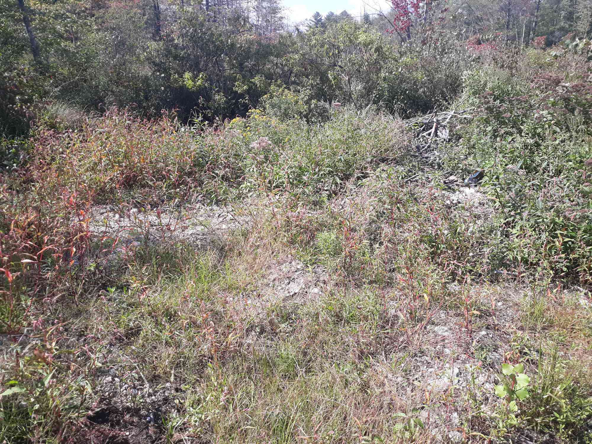
The photos below show the surrounding area on Snow Road from the access off of Warwick Road. More photos of the actual property to come Mid-September 2021
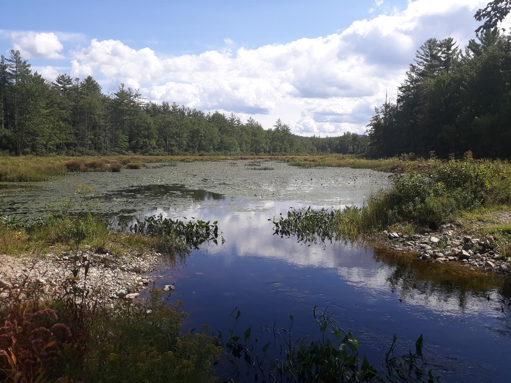
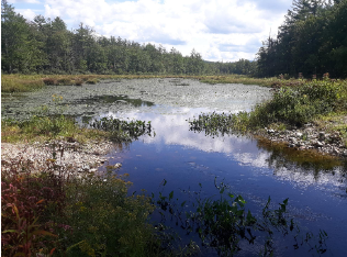
The photos below show the Snow Brook Conservation Area that is on the Eastern border of the property. This conserviation area is now Lot 5-143 and appears as Lot 2 in the 1992 Subdivision Plan shown at the top.
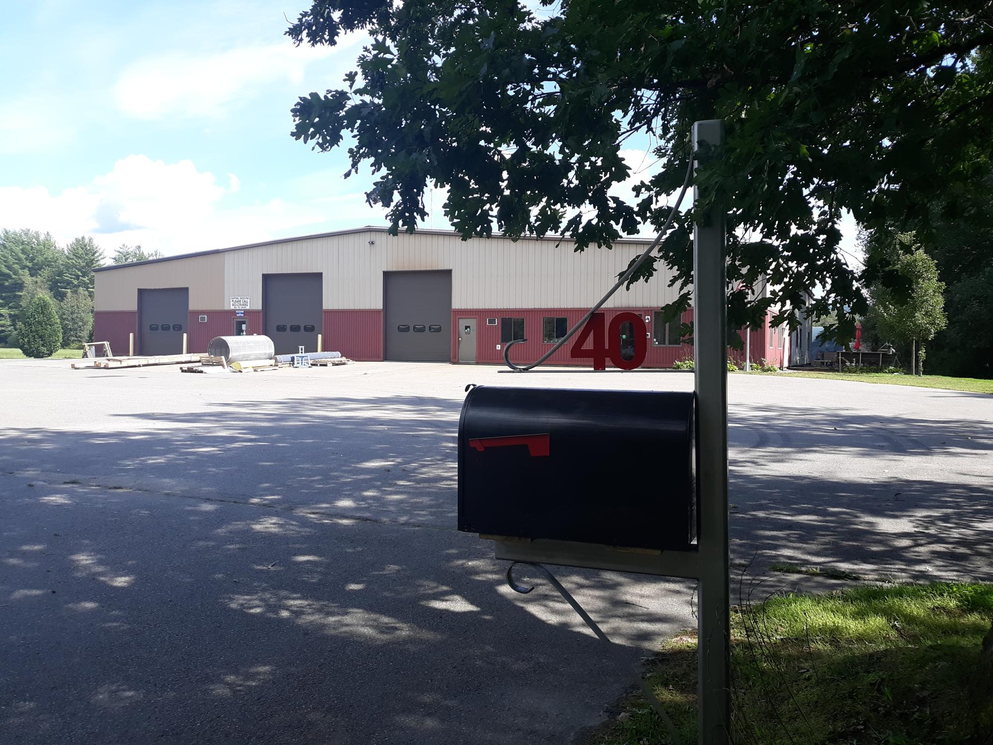
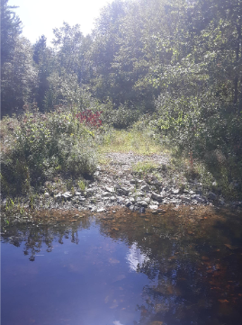
The photo to the left serves as a landmark on Snow Road before the maintained road ends and it becomes a Class VI road and crossing the Snow Brook.